
Population: 44,787
Louisiana Department of Transportation and Development
Halff worked with the Louisiana Department of Transportation and Development (LA DOTD) National Flood Insurance Program (NFIP) Substantial Damage Estimator (SDE) Pilot Project to provide a guide that will help communities prioritize the areas where they perform substantial damage determinations following a disaster.
Depth of flooding determinations were developed using Finished Floor Elevations (FFE) and Base Flood Elevations (BFE) to assess flood risks within key neighborhoods. The goal was to accelerate the community response time following storm events to help communities recover and rebuild in a timely manner.
The project aimed to train Artificial Intelligence (AI) technology to predict flood risks of existing structures in less densely populated areas and communities by searching for correlations between documented flooding, BFE data, BLE models, infrastructure, and social, economic and other metrics. This technology served as a key tool for predicting parish-wide coverage of FFE to BFE comparisons for the study area.
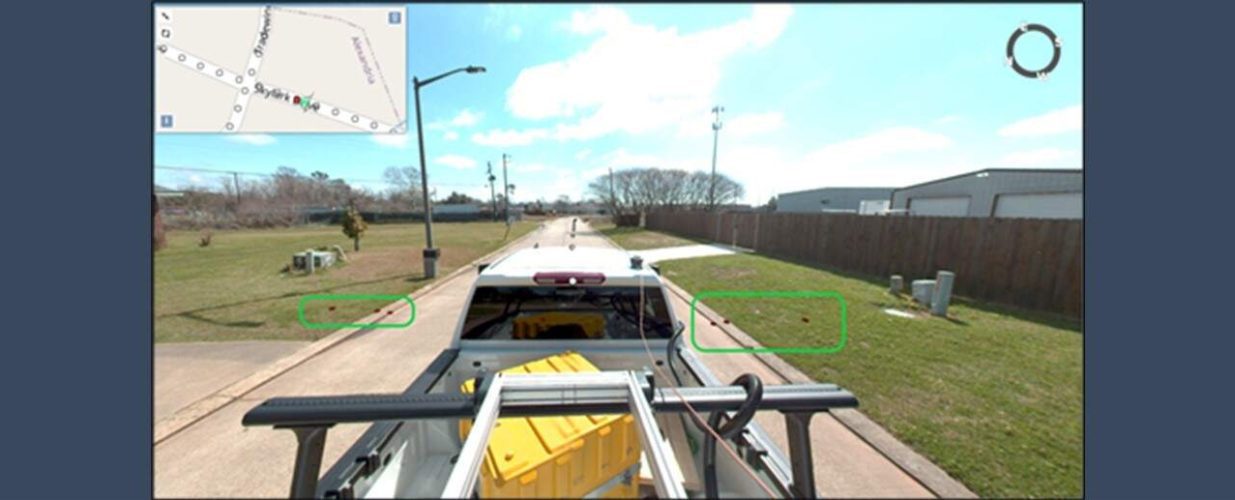
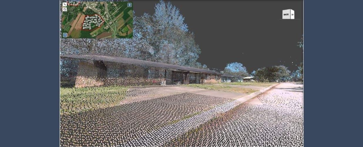
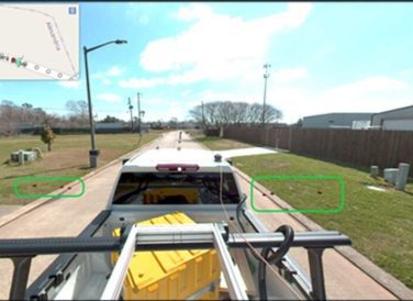
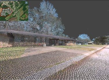
As a result of this project’s efforts, 4,696 structures were collected within five main areas and the majority of a sixth region. The accelerated pace of collection and extraction created cost efficiency while maintaining safety standards and desired accuracy. The comparison between FIRM maps and BLE data resulted in heat maps outlining areas of the most at-risk areas within the community. These resulting risk heat maps will be used to prioritize mobilization of assessment groups after large storm events. Data collection for the SDE assessment guide was accomplished by utilizing mobile lidar technology.
This approach provided safer and faster collection when compared to traditional survey methods. This benefit also allowed for more structures to be analyzed, thus providing a broader dataset for the selected jurisdiction in this pilot project.
Halff Services
Involved
- Geospatial
- Intelligent Infrastructure
- Watershed Plans & Studies


Let’s Connect
Ready to work with Halff? Simply fill out the form to be directed to the best person at Halff to discuss your interests.