4,100 center lane miles (+/-)
Private Telecommunications Consultant
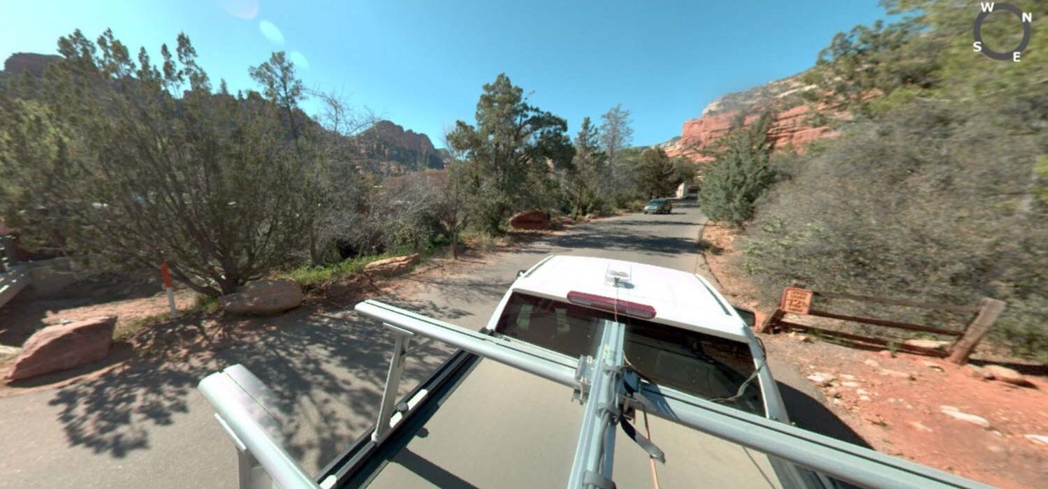
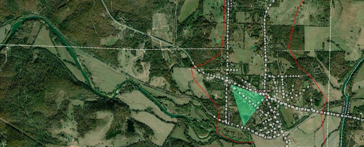
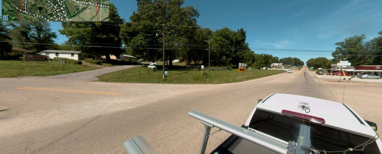
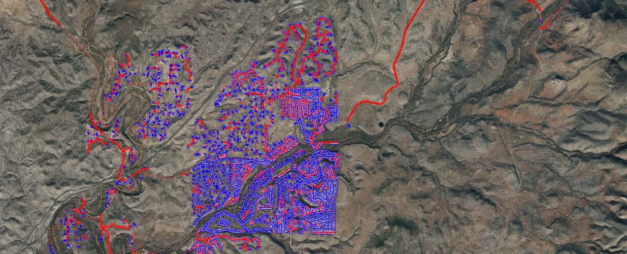
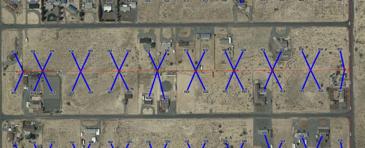
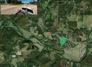
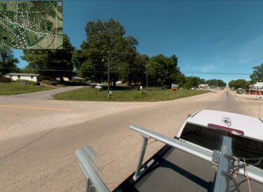
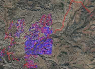
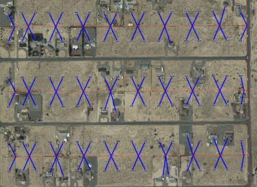
For this ongoing telecommunications industry project, Halff has provided approximately 4,100 centerline miles of broadband/fiber OSP route mapping in multiple states across the United States. The data collected is used for pole permitting documentation for various agencies involved in the roll-out of fiber connectivity to residential and commercial clients, contained mostly in rural areas. Our team has designed thousands of centerline miles of complicated OSP route maps delivering in both ESRI ArcGIS and .DWG formats. This was all made possible through mobile lidar technologies and imagery-based mobile data collection systems.
Halff Services
Involved
- Geospatial


Let’s Connect
Ready to work with Halff? Simply fill out the form to be directed to the best person at Halff to discuss your interests.