SIZE:
900 square miles
Client:
City of Lubbock
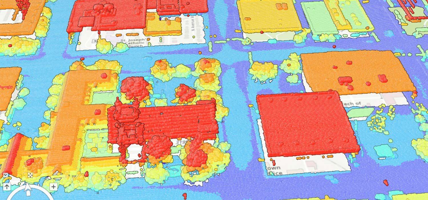
Halff collaborated with the City of Lubbock to develop aerial imagery and lidar specifications for a third-party data acquisition. The team developed terrain surfaces and contours to support engineering analysis as Halff collected the Lidar data. This enabled Halff to provide a quality control assessment to ensure all specifications were met.
Halff Services
Involved
- Geospatial
- Geographic Information Systems
Let’s Connect
Ready to work with Halff? Simply fill out the form to be directed to the best person at Halff to discuss your interests.


