
124,000 acres
Harris County Flood Control District
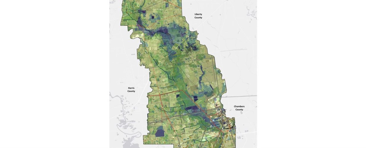
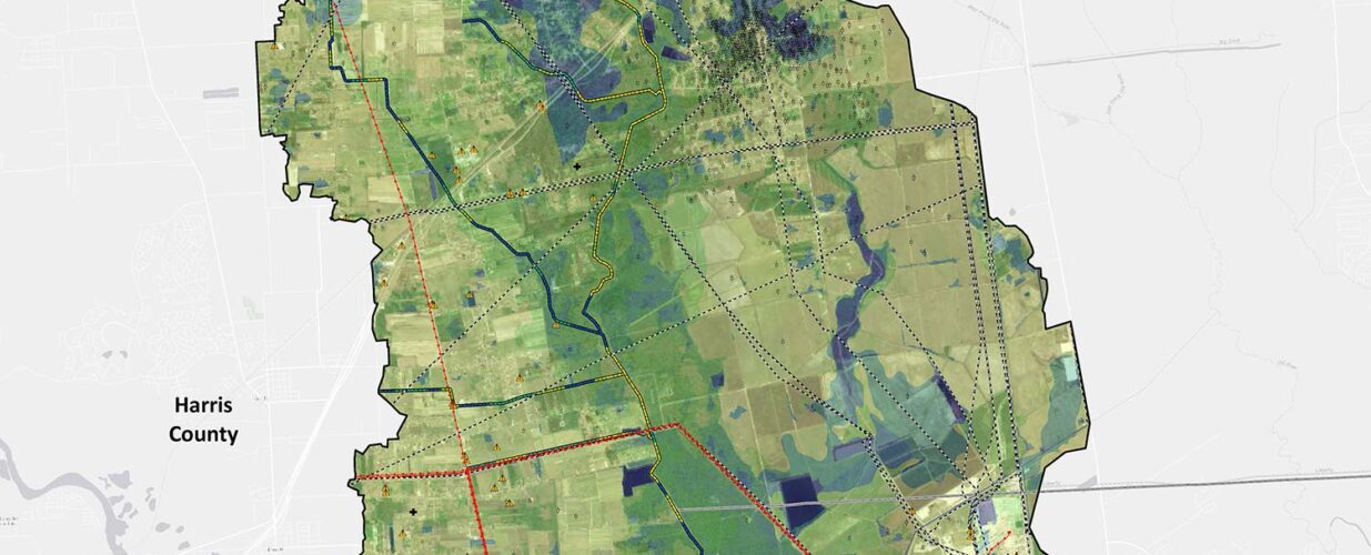
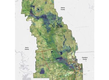
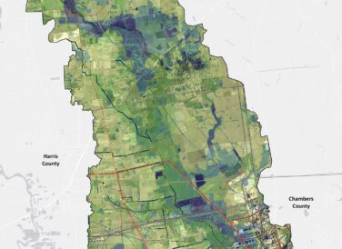
As part of a multiphase effort to update existing flood hazard information and propose flood improvement alternatives for the Cedar Bayou watershed, Halff developed a planning-level wetland identification and stream conditional assessment methodology to assist with planning and permitting flood improvement projects.
The methodology provides predictive modeling of wetland areas and identifies areas of high-quality/low-quality aquatic habitat to inform decision-making about the type of flood mitigation projects that may be appropriate (e.g., traditional conveyance/detention vs. self-compensating natural stable channel).
The data is being updated with revised inundation models to reflect current watershed hydrology. The revised data will be used to support and inform alternatives analyses for environmental clearance under Section 404 of the Clean Water Act and the National Environmental Policy Act for various flood control projects implemented under the Cedar Bayou bond program.

Halff Services
Involved
- Environmental
- Geographic Information Systems
- Water Resources


Let’s Connect
Ready to work with Halff? Simply fill out the form to be directed to the best person at Halff to discuss your interests.