
Groundwork Jacksonville
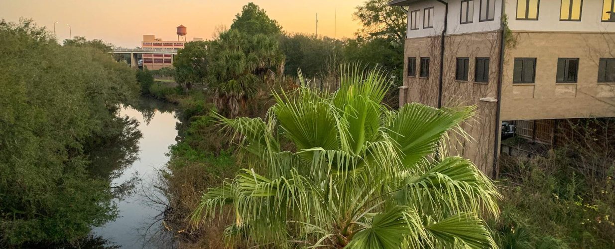
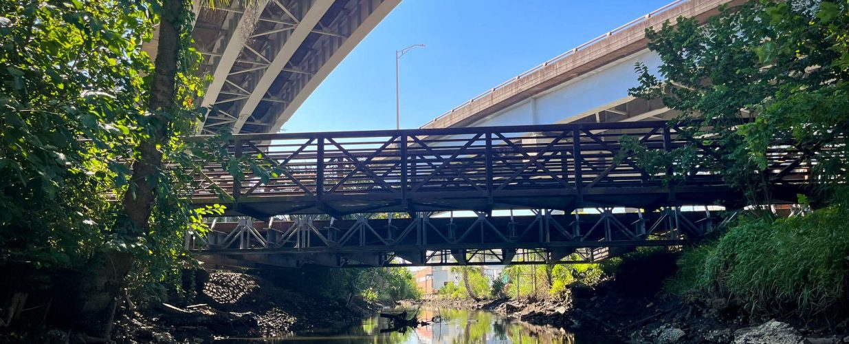
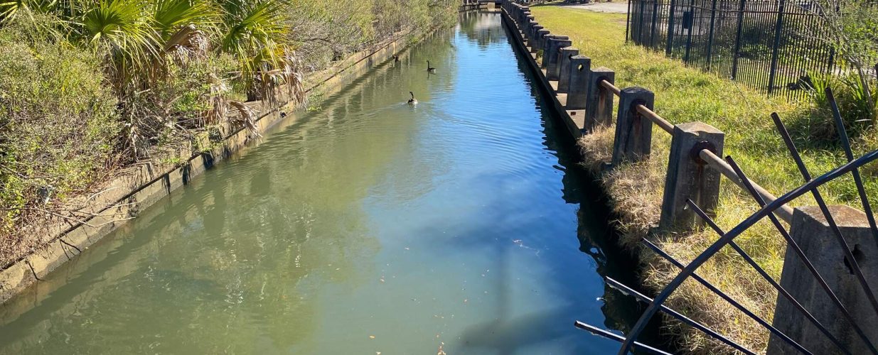
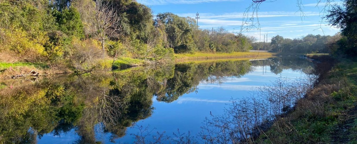
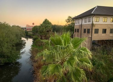
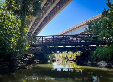
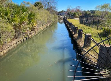
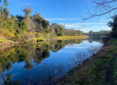
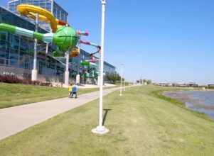
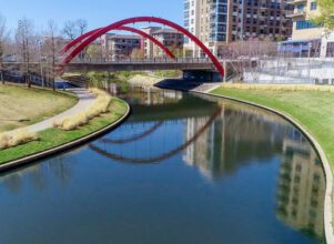
Hogans Creek, a key part of Groundwork Jacksonville’s vision of a 30-mile Emerald Trail of parks, trail paths, and waterways, will help connect neighborhoods at the heart of the city. As part of the trail master plan, Groundwork Jacksonville partnered with the City of Jacksonville and Halff to develop the Hogan’s Creek Restoration plan with the goal of transforming the existing concrete-lined, altered channel that was prone to flooding to a more natural creek.
Hogans Creek involves the preparation of a detailed stream design, which includes providing alternative(s) for the ecological restoration of the approximate 2.6-mile creek in Jacksonville, from its headwaters to the St. Johns River. This project incorporates important steps, designs, assessments and resiliency concepts to preserve and properly steward the surrounding environment. It simultaneously incorporates neighborhood interconnection and park redevelopment, while enhancing and restoring the ecological condition of the creek corridor. The project’s preliminary design and feasibility assessment will help with many issues, including reducing flooding, improving water quality, creating habitat for fish and wildlife, and providing nature-based recreation.
Coordinating with a multi-disciplinary team of experts, Halff also led extensive outreach efforts to involve the public in the development of alternatives to restore Hogans Creek to a more natural state. This included presenting initial plans and concepts with the community to gather input that will ultimately be incorporated into the ongoing iterative design process.
Halff’s environmental team is responsible for completing detailed ecological assessments of the project corridor, including mapping all upland and wetland habitats, delineating wetlands, performing listed species surveys for gopher tortoises and a variety of wading birds, and conducting a thorough vegetation inventory of Hogans Creek. Additionally, Halff will assist in preparing a detailed habitat and vegetation restoration plan, and is responsible for leading the environmental permitting for all aspects of the restoration design. All these efforts will help deliver a successful design/plan for Hogans Creek.
Halff Services
Involved
- Environmental
- Flood Infrastructure Design
- Geographic Information Systems
- Land Development
- Landscape Architecture
- Local Infrastructure
- Planning
- Resilience

Let’s Connect
Ready to work with Halff? Simply fill out the form to be directed to the best person at Halff to discuss your interests.