
Population: 950,807 (2019 U.S. Census Bureau)
City of Austin
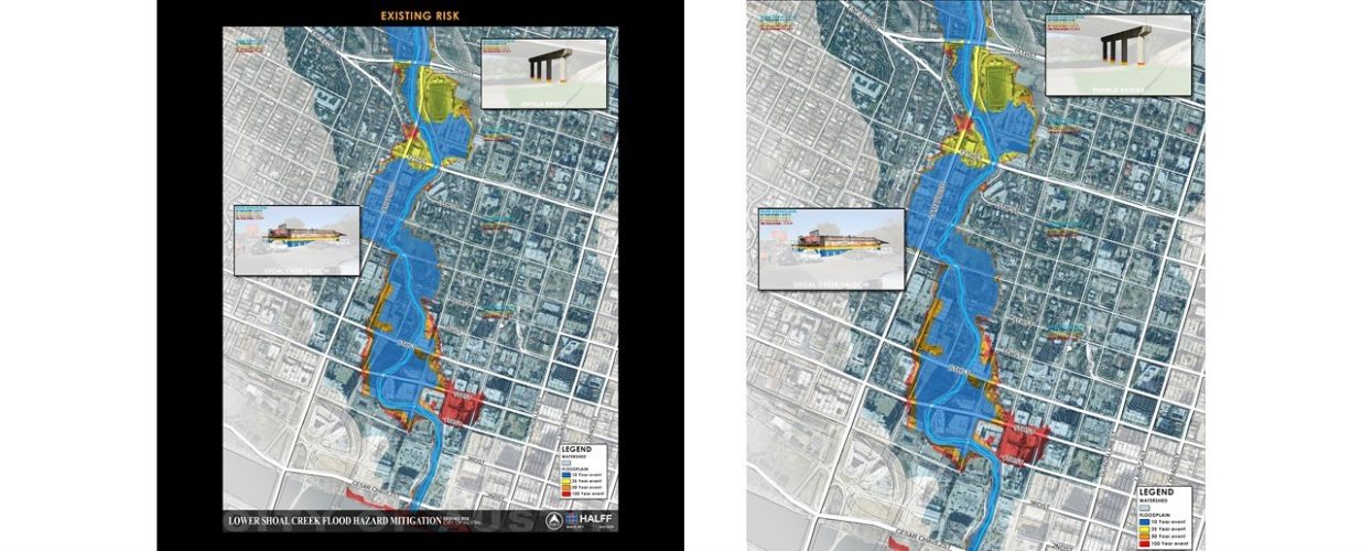
The City of Austin, utilizing its Cooperating Technical Partner (CTP) agreement with FEMA, contracted Halff to prepare a comprehensive watershed-wide modeling and mapping study of Shoal Creek. This multi-phase feasibility study, part of the 2015 Watershed Engineering Flood Mitigation Rotation List, assessed possible solutions to flooding along Shoal Creek between 15th Street and Lady Bird Lake. Phase 1 of the project included compiling and reviewing prior planning studies, coordinating with stakeholders and engaging the public to identify mitigation ideas for the Lower Shoal Creek corridor. Phase 2 included the hydrologic and hydraulic analysis establishing baseline conditions, as well as the analysis of several flood mitigation alternatives, cost estimation, evaluation criteria and recommendations.
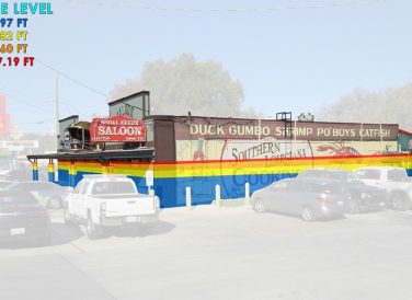
The Lower Shoal Creek Flood Risk Reduction Analysis allowed the City to evaluate flood risk reduction alternatives in light of the May 2015 flood. A 2D model was developed to replicate the existing conditions and simulate proposed flood risk reduction alternatives. These 2D models provided a better understanding of the complicated flood flow dynamics present. There are 61 structures in the study area where the estimated 1% ACE (100-year) water surface elevation exceeds the finished floor elevations. The goal of this feasibility analysis was to identify alternatives that would reduce the 1% ACE (100-year) peak flows or produce equivalent reductions in risk through the Shoal Creek corridor downstream of W 15th Street.
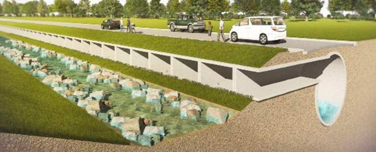
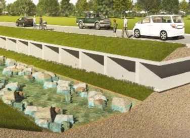
Underground conveyance provides the greatest flood risk reduction benefit along the Lower Shoal Creek corridor in comparison to other comprehensive alternatives, such as channel clearing and detention. As identified through the advanced alternatives analysis, underground conveyance is a long-term option when considering large flood events like the 1% ACE (100-year) and greater. High project cost, funding, social impact and time of implementation could all be obstacles that would need to be overcome if an underground bypass system was ever implemented.
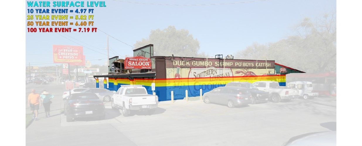
Many high-value buildings are projected to flood at events as low as the 50% ACE (2-year). Lower Shoal Creek, similar to many developed areas that experience frequent flooding, is an area where full flood mitigation is not financially feasible. In these cases, it may be more cost effective and prudent to evaluate opportunities for improving community resilience in the flood area. A community resilience plan can help increase standards for new development, incentivize safe redevelopment and retrofits, inform citizens to increase flood preparedness and implement better warning systems. A community resilience plan offers the shortest time of implementation and allows for prioritization of the most at-risk areas. In addition to these benefits, this alternative has the least social and environmental impact to the largely populated study area.
Halff Services
Involved
- Geographic Information Systems
- Local Infrastructure
- Resilience
- Watershed Plans & Studies

Let’s Connect
Ready to work with Halff? Simply fill out the form to be directed to the best person at Halff to discuss your interests.