400 acres
The University of Texas Rio Grande Valley
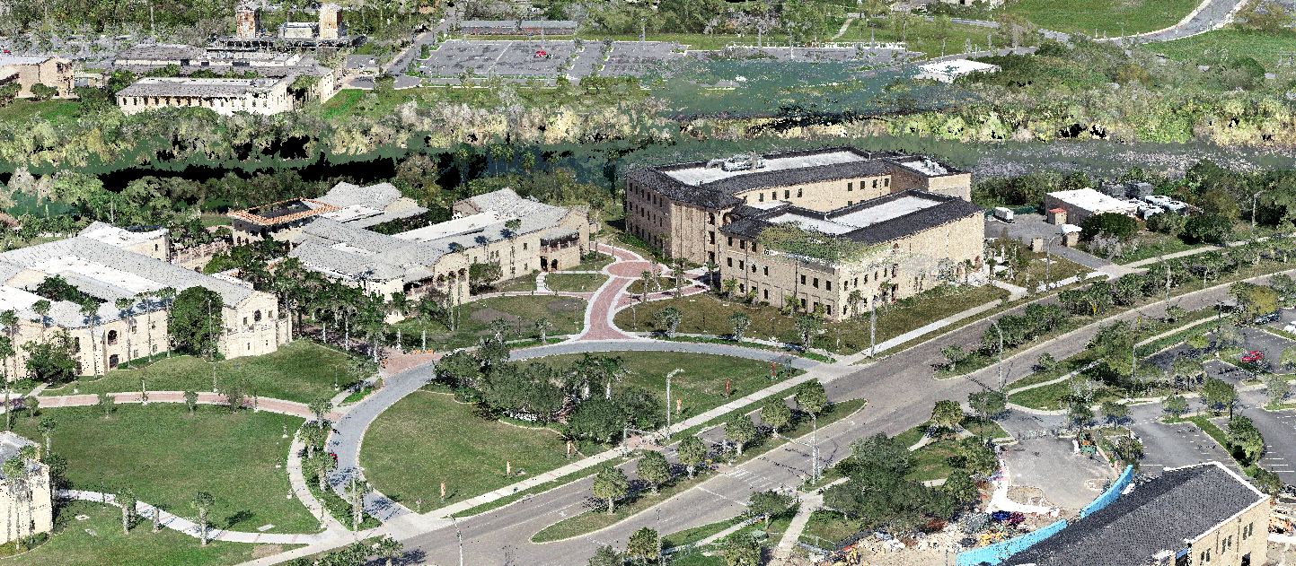
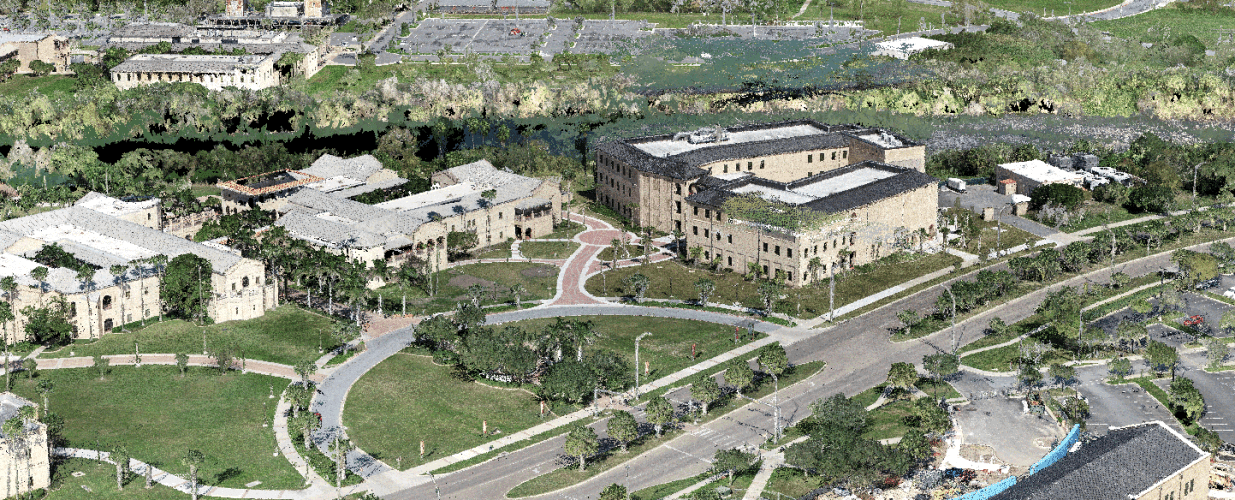
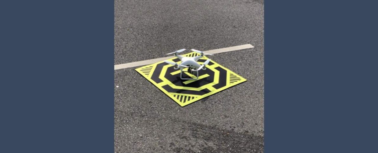
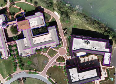
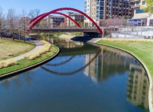
Halff prepared a base file with planimetrics for UTRGV Brownsville campus using our Unmanned Aircraft System (UAS) or drone.
The campus did not have any base maps available, so Halff was tasked with preparing one for them. This task included setting 70 aerial targets on the ground around the campus. After the targets were set, a survey crew tied the targets with GPS to ensure the planimetrics would be tied to a real-world environment.
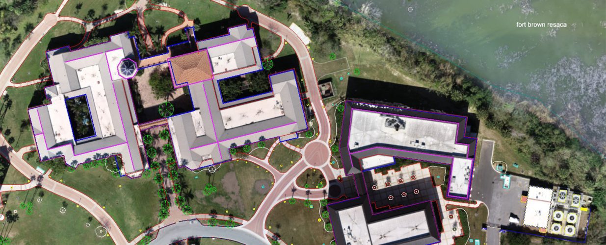
After the flight of the UAS was completed, the data was processed and the base file was created. The images obtained from the UAS were used as an overlay to create the curbs, edge of asphalt, concrete edges and building outlines.
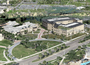
The deliverables included a 3D point cloud of the entire area, AutoCAD base file and high-definition aerial imagery. The new survey base file will be used in the future for the development of a utility master plan. The Halff team coordinated UAS operations permission and preferred/recommended dates of acquisition.
Halff Services
Involved
- Geospatial
- Intelligent Infrastructure

Let’s Connect
Ready to work with Halff? Simply fill out the form to be directed to the best person at Halff to discuss your interests.