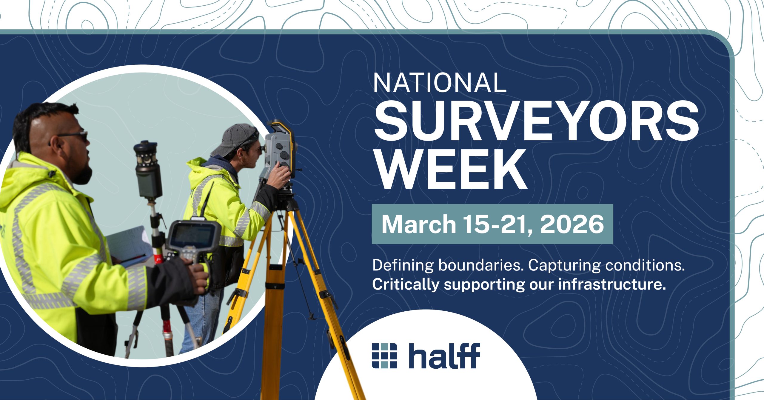
Past to Present: The Importance of Surveying
In celebration of National Surveyors Week, we take time to commemorate some of the most interesting aspects of land surveying’s history and its continued importance in today’s world.
Land surveying is a rich and multifaceted profession with its roots dating back thousands of years. But at its core, it has always dealt with the scientific and precise measurement of the Earth’s surface and features.
Let’s take a look at one of the oldest professions in history!
A Brief History of Land Surveying
The origins of land surveying date back to the ancient Egyptians during the construction of the Great Pyramid at Giza, with records indicating that land surveying for taxation purposes was used by surveyors establishing property boundaries and even assessing the land for its value.

Methods used by the Egyptians influenced early Grecian surveyors, who were referred to as rope stretchers because they used knotted ropes to take measurements.
It was the Greek geographer, mathematician and astronomer Hipparchus who invented the astrolabe, a tool used to measure geographical latitudes and time by observing the stars.
Greek surveyors also measured mountain heights and established property boundaries with the astrolabe.
The Romans inherited and expanded upon Greek surveying techniques, establishing land surveying as an official profession known as Gromatici or Agrimensores. These early Roman surveyors played a key role in defining boundaries and managing land.
The Corpus Agrimensorum Romanorum is a series of books written by various authors that were the first surveying manuals for working land surveyors.
Land Surveying in the United States
The United States has a long tradition of land surveying and many of our early political leaders took great pride in being land surveyors.
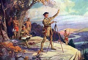
President George Washington, the first president of the U.S., was previously the county surveyor for Culpeper County, Virginia.
He began his surveying career at the ripe age of seventeen. Mentored under the tutelage of Joshua Fry, Washington surveyed over two hundred plots of land along the northern neck of Virginia over the course of his career.
Other notable surveyors in early American history include:
-
- Benjamin Banneker, a freed slave who was hired by Secretary of State Thomas Jefferson, and Andrew Ellicott worked as one of the first survey crews in Washington, D.C.
- Explorer and pioneer Daniel Boone, who is famous for his exploration and settlement of Kentucky, was a land surveyor.
- Abraham Lincoln was named deputy surveyor of Sangamon County in Illinois before becoming the 16th president.
Did you know? Three of the four United States presidents carved onto Mount Rushmore were land surveyors earlier in their careers!
Common Land Survey Types
While there are a variety of types of land surveying, two of the most common are boundary surveys and topographic surveys.
Boundary surveying involves the correlation of legal records with field information to produce a map showing the property lines, land area, legal description and any conflicts that may affect the title. This includes right-of-way maps, legal descriptions, as-built drawings, which include accurate boundaries (improvement surveys), franchise or public utility easement descriptions, and platting.
Topographic surveying focuses on the mapping of natural and human-caused features for a specific area. It provides a detailed geographic representation of the earth’s surface. The purpose is to create a complete map that includes elevations, contours, roads, buildings, bodies of water and vegetation.
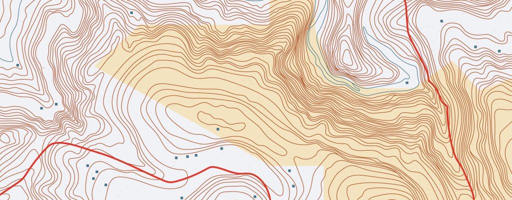
The topo-map assists engineers, architects and planners to better understand the terrain in their area of interest.
Boundary surveys define property lines and ownership information, while topographic surveys provide a detailed map of the physical features of the land.
Both types of surveys play a critical role in land management and development.
It Starts With Surveying
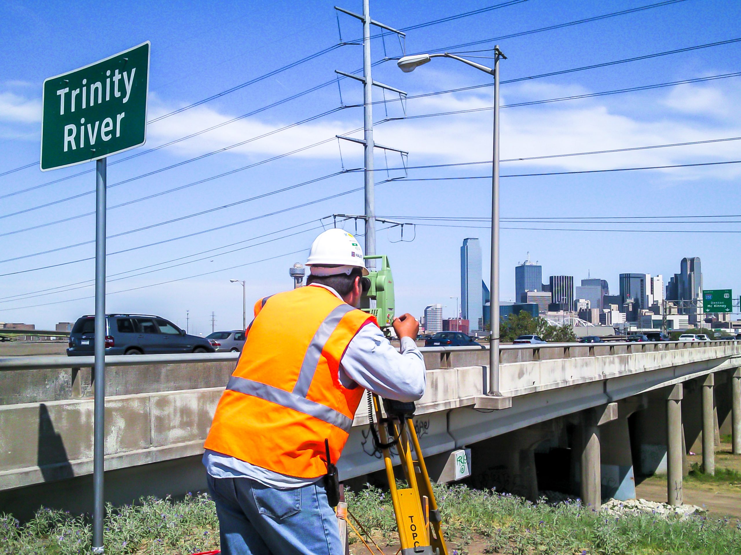
Halff’s Survey teams play a crucial role in supporting various practices by providing accurate measurements, mapping and data analysis tailored to each practice’s needs. From energy and land development to local infrastructure and transportation projects, they’re usually the first ones to mobilize, both in the office and in the field, since robust data collection is necessary to get a project started. Learn how our surveyors partner with practices:
Energy
-
-
- Surveyors conduct boundary and topographic surveys to identify property lines, easements and physical features.
- Surveyors provide precise data for pipeline routing, site selection and compliance with environmental regulations, ensuring safe and efficient infrastructure placement.
- For the post-design phase, Survey teams stake the proposed alignments, right of way and property lines.
-
Land Development
-
-
- Surveyors provide topographic maps and boundary surveys that inform site grading, drainage planning and design of subdivisions.
- Surveyors’ expertise helps developers maximize land use efficiency while maintaining regulatory compliance.
-
Local Infrastructure
-
-
- Surveyors map existing utilities, drainage systems and surface features, ensuring accurate planning and construction of improvements such as sewer upgrades, water lines and public spaces, reducing the risk of costly errors or delays.
-
Transportation
-
-
- For roadway projects, surveyors gather detailed information on existing road alignments, research the recorded and apparent right of way limits and survey the adjacent land features.
- This data supports the design and planning of widening projects, helping engineers minimize environmental impacts and avoid property conflicts.
-
Across these practices, Survey teams contribute essential data that supports design, regulatory approval and successful project delivery. Without their expertise and precision, the quality of many of our infrastructure projects wouldn’t be possible.
Here are a few words of gratitude from our leaders to our surveyors:
“The work that the Survey practice performs is the foundation for the transportation planning and design work we do. Any success we have experienced in our practice is propped up by the professional products provided by our teammates in the Survey practice. We are grateful for their tireless efforts and relentless pursuit of continuous improvements to quality and efficiency.” – Transportation Practice Leader Jonathan Bean
“Halff’s Survey teams are an integral member of the Land Development practice. We greatly appreciate their attention to detail and their commitment to meeting the normal tight deadlines associated with private land development! To all of our Survey team members, happy Surveyors Week and than you for your service to Halff!” – Land Development Practice Leader Greg Shipley
“The San Antonio Survey team recently met with San Antonio’s new Energy teams to collaborate on field work and electric facility identification needs to support the growing electric distribution work across west Texas. This spirit of teamwork, collaboration and timeliness will continue to allow for the growth of both teams!” – Acquisitions Operations Manager Josh Logan
Latest Technology for the Job

Aerial drone technology provides a safe, quick and cost-effective way to obtain data.
One key to producing an accurate topographic survey is to pick the right technology for data collection.
Aerial photogrammetry and lidar or mobile lidar are the best data collection options for long linear routes. While conventional surveying is commonly used for shorter routes and supplementing obscured areas from aerial view, terrestrial lidar is excellent for safely capturing data along busy roadways, railroads, or under bridges and overpasses.
Bathymetry or hydrographic surveying is employed to measure the depths of bodies of water.
Data fusion (see example below) is the process of combining several different methods of data collection into one complete dataset for a seamless deliverable for your client.
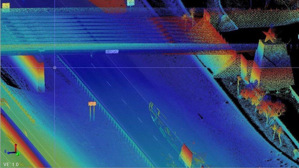
The IH-10 mapping projectprovided layered data using a point cloud, which contains massive amounts of data points in three dimensions (X, Y and Z coordinates).
Professionals you can trust. Halff has been providing high-quality surveying services for more than 60 years with offices across the Southern United States. For more information about our land surveying and geospatial services, please visit our Surveying and Geospatial service pages.
Recent Stories

Halff’s Gibson Place Utility Company WWTP Receives DBIA Florida Region Merit Award
ORLANDO, Fla. — Halff’s partnership on the Gibson Place Utility Company Wastewater Treatment Plant (WWTP) was recently recognized with a…
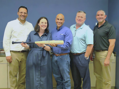
Federal Deputy Practice Leader Robert Saenz Honored with Halff Home Run Award
President and CEO Jessica Baker Daily made a visit to the McAllen office to present the award to Robert. From…